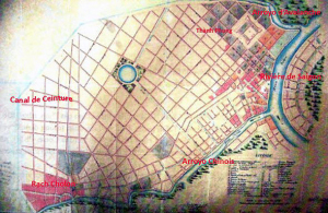
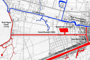
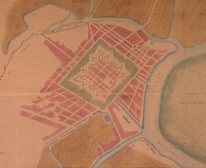
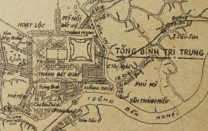
A late 19th century map of Gia Định based on the 1815 map by Trần Văn Học, with additional place names from Gia Định thành thông chí by Trịnh Hoài Đức, Đại Nam nhất thống chí by Quốc sử quán triều Nguyễn and Souvenirs Historiques by Petrus Ky
In 1885, scholar Petrus Trương Vĩnh Ký delivered a lecture at the Collège des Interprètes entitled Souvenirs historiques sur Saïgon et ses environs (Historical Memories of Saigon and its Environs). Published as a booklet later that same year, it provides us with one of the most important historical accounts of Saigon-Chợ Lớn in the pre-colonial period. This is the third and final instalment of the serialisation, translated into English.
To read Part 1 of this serialisation, click here
To read Part 2 of this serialisation, click here
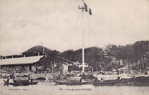
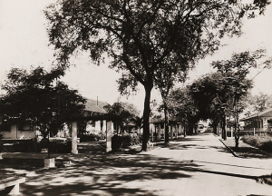
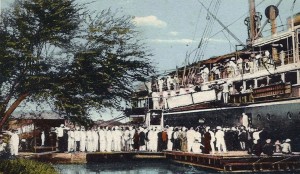
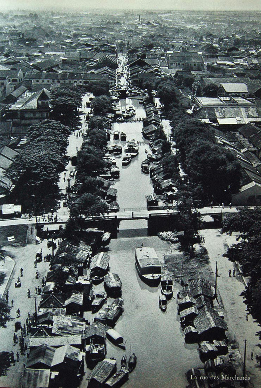
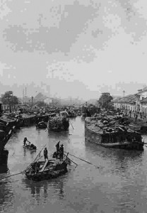
Now let’s take a journey along the Route basse [the “Low Road” alongside the Bến Nghé Creek] to Chợ Lớn.
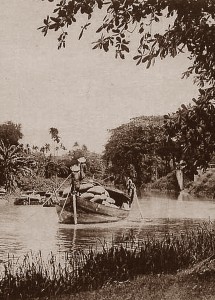
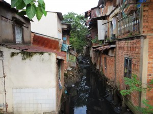
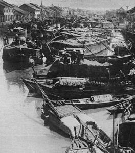
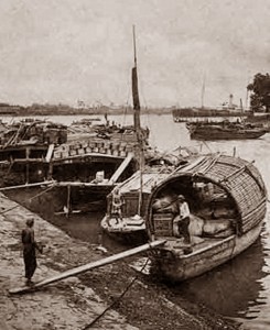
A boatman on the arroyo
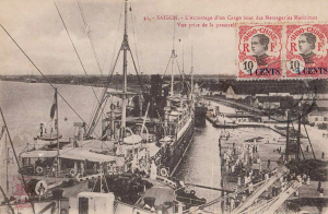
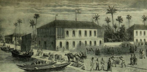
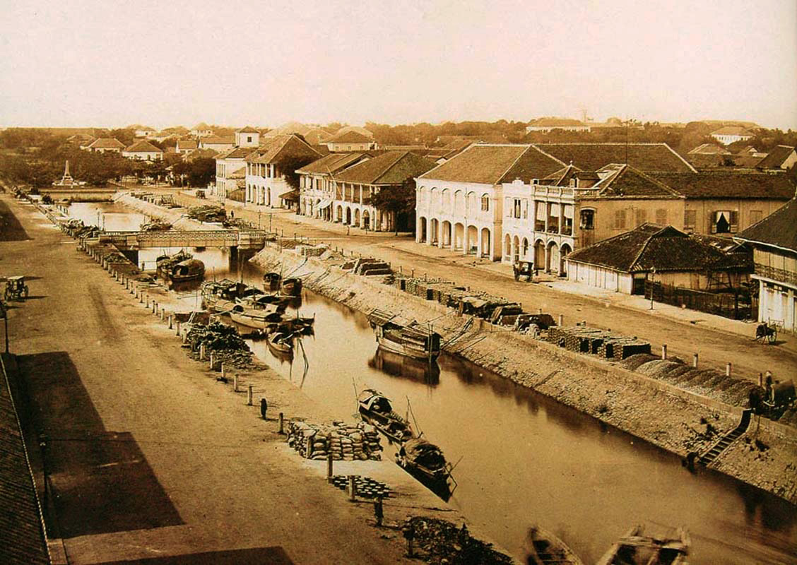
The arroyo Chinois, formerly known as the Bến Nghé Creek, received its current name from the French. They observed that this arroyo led to the city of Chợ Lớn, and that its most numerous inhabitants were Chinese traders who used it to carry goods aboard their junks which moored at Xóm Chiêu (between the Fort du Sud and the Messageries maritimes), and naturally gave it the name arroyo Chinois.
According to the Gia Định thành thông chí, the name Bến Nghé derives from the fact that in times gone by, buffalo, and especially young buffalo (nghé), bathed in this arroyo.
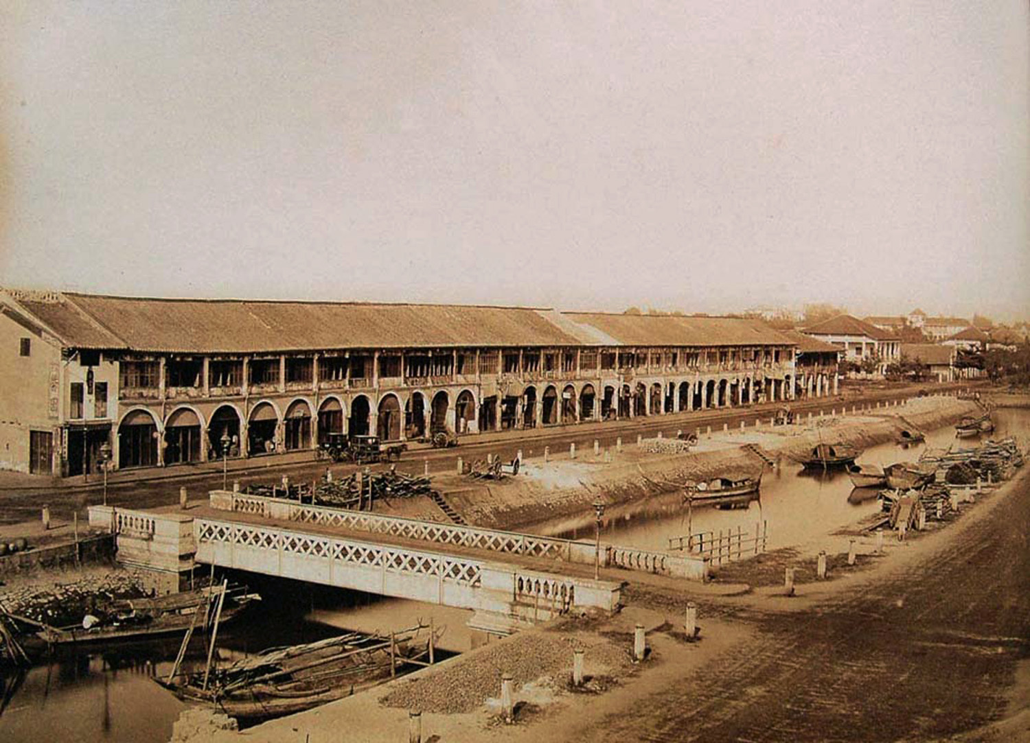
Both banks of the arroyo have always been crowded with boats of all kinds and lined with houses on stilts, which constitute two thick ramparts, making the passage of the arroyo somewhat cramped.
In the old days, the most significant market, which enjoyed the most active trade, could be found in the area between the Signal Mast and the modern rue Mac Mahon [modern Nam Kỳ Khởi Nghĩa street], the path of which was inhabited by fortune tellers and lathe workers. The houses around this market were well built, all of them made from fine wood with roofs covered in tiles.
From there to the Cầu Ông Lãnh Market, we pass through the territory of the ancient village of Long Hưng Thôn, comprising houses which cover the shore and stretch beyond the road. The current rue Boresse [modern Yersin street] was once a poor road, alongside which were built the dwellings of freed slaves from Laos; they made buckets from nipa palm leaves to carry water.
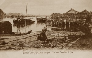
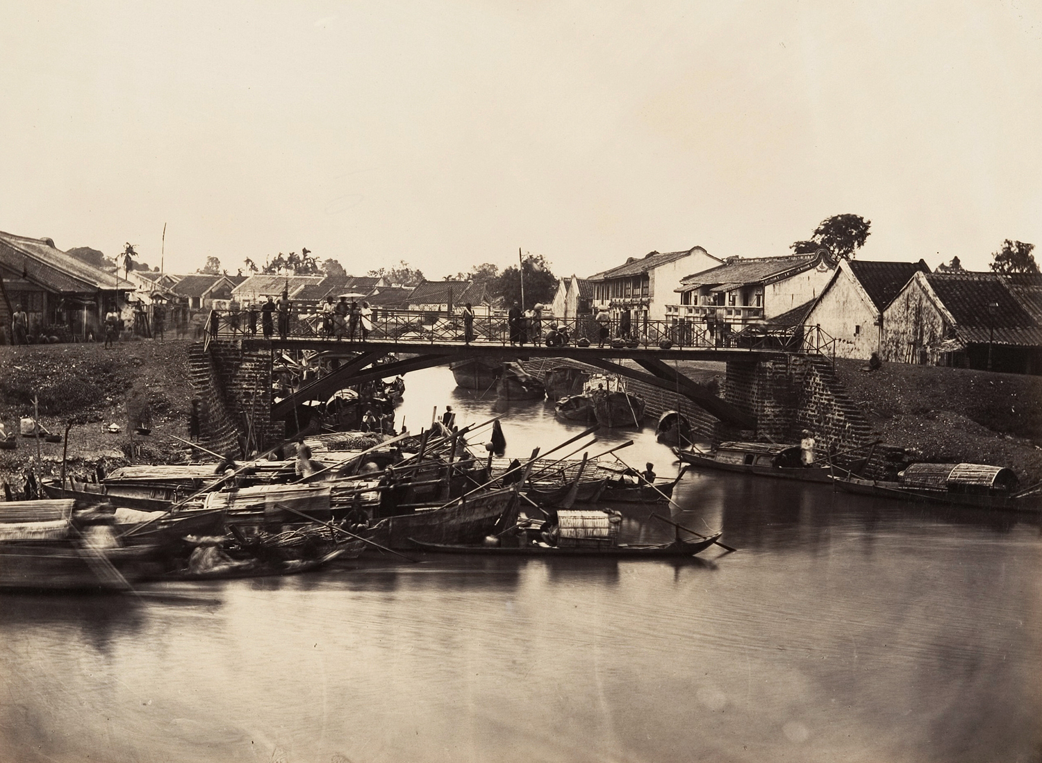
Arroyo Cao-Ong-Lanh, Saigon: Vue des Jonques de Mer
Over the Rạch Cầu Ông Lãnh, a small arroyo leading to the slaughterhouse, there was formerly a wooden bridge built in 1785 by a Lãnh binh or military commander [Nguyễn dynasty general Nguyễn Ngọc Thăng] who once lived in this area. This bridge – the Cầu Ông Lãnh or “Commander’s Bridge” [located close to the modern Nguyễn Thái Học and Võ Văn Kiệt junction] – gave its name to the whole quarter.
Further along, we find a bridge named Cầu Muối (“Salt Bridge”), because in days gone by, merchants in small seagoing boats (ghe cửa) would come here to sell salt. These salt sellers could still be found here long after the fall of Saigon, with their vats of salt covered with leaves. This was the largest salt depot in the city.
Advancing further, we come to the bridge named Cầu Kho and a little further on another bridge called Cầu Bà Tiệm. The area between these two bridges was the location of the Chợ Kho (“Stores Market”), so named because it was originally the location of the Royal Stores (Kho Cẩm Thảo) which King Gia Long built to accommodate taxes in kind from merchants arriving from the interior of Cochinchina. The village in which it was located was known as Tân Triêm Phường.
Continuing from the Bà Tiệm Bridge to the bridge named Cầu Bà Đô, we pass the villages of Hòa Thạnh and Tân Thạnh, popularly known as Xóm Lá (after the trade in parchment made from leaves which was carried out on the other side of the arroyo) and Xóm Cốm (after the local speciality grilled rice cakes).
A close-up of the 1815 map showing Bến Nghé (Saigon) and Tai Ngon/Saigon (Chợ Lớn)
After the Bà Đô Bridge, we arrive at the village of Bình Yên. In the old days, many of the residents here occupied large plots of land and carried out commercial exchange with merchant junk owners coming from the north.
Next we come to the bridge known as Cầu Hộc, which takes its name from an ancient well known as the Giếng Hộc which originally had a rectangular wooden interior frame to measure the water level [Hộc meaning “measure of capacity”]. Today we can still find a well at this spot containing clear and potable water which is especially good for making tea.
From this arroyo to the stream near Chợ Quán Hospital (Lò Rèn Thợ Vắp) was once the territory of the ancient village of Tân Kiểng.
Chợ Quán Hospital is located in the territory of Phú Hội Thôn, which used to have many lime kilns. Beyond the hospital we cross a bridge and continue to the villages of Đức Lập and then Tân Châu, popularly known as Xóm Câu (“Fishing Hamlet”).
A little further on is the village of An Bình Thôn, popularly known as Xóm Dầu (“Oil Hamlet”) and centred on the Rạch Xóm Dầu, a waterway where dredging ships are moored today. There was an oil depot here which specialised in the production of peanut oil.
As we continue through An Bình Thôn, from the Rạch Xóm Dầu to the pont de l’Usine à décortiquer (Bridge of the Rice-Husking Factory), we notice that part of An Bình Thôn lay on the other side of the arroyo Chinois. Today it is known as An Hòa village, and we can find there the Vạn Đò or Pagode de l’Association des Bateaux de passage (Pagoda of the Association of Transit Boats).
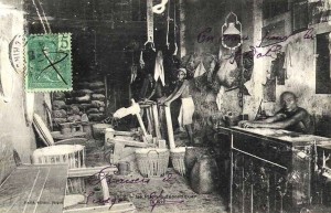
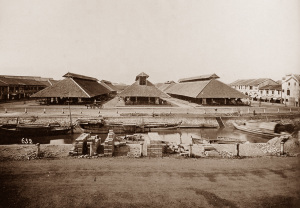
Inside a Chợ Lớn rice husking factory
Just before the Bridge of the Rice-Husking Factory there is an arroyo with a beautiful bridge named the Rach Bà Tịnh which still survives to this day. This waterway penetrates deep into the interior, reaching as far as the great tamarinds on the Route haute (High Road).
A little further on we reach the Adran Well. This once stood on the bank of the arroyo, but thanks to the action of water of the Vịnh Bà Thuông over a long period of time, the land on which it stands now extends out in the arroyo. Many rice husking factories have been set up here on the banks of the waterway.
From here, the village of An Điền stretched as far as the iron bridge formerly known as the Cầu Kinh. This area was known by the popular name of Xóm Chỉ (“Thread Hamlet”), after its main product. It was here that an arroyo once connected the Rạch Bến Nghé with the Ngã Tư Market, passing through the Rạch Lò Gốm. The Bà Thuông Canal, which today runs from Chợ Lớn to Ngã Tư, was dug by Viceroy Lê Văn Duyệt, the “Great Eunuch.”
On the other side of the arroyo Bến Nghé, parallel to the bank we have just travelled along, were a number of other settlements. Stretching from the Messageries maritimes to the Rạch Ông Lớn were the villages of Khánh Hội, Tân Vĩnh and Vĩnh Khánh; between the Rạch Ông Lớn and the Rạch Ông Nhỏ were Bình Xuyên and Tứ Xuân, popularly known as Xóm Te; and west of the Rạch Ông Nhỏ were An Thành (today Tuy Thành), Bình Hòa (Thạnh Bình, popularly Xóm Rớ), An Hòa Đông and Hưng Phú (Xóm Than).
A close up of the 1815 map showing the area immediately west of the 1790 Citadel
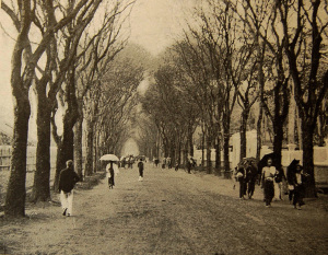
A row of houses, mostly huts on stilts, border the banks as far as Chợ Lớn. The two banks of the arroyo are also lined with boats from different provinces. The middle of the arroyo is continually crossed by small boats (ghe lườn) whose owners sell cakes, food and supplies of all kinds. Watching these boats travelling back and forward is like watching the to-and-fro of the yarn on a knitting machine!
Now, let’s follow the Route haute (High Road) from Saigon to Chợ Lớn [today Nguyễn Thị Minh Khai and Trần Phú streets]. The French government has preserved this ancient road, widening and paving it. It was originally traced by M Ollivier, the man responsible in 1790 for the construction of the Citadel, in order to create a direct route between Saigon and Chợ Lớn.
Families were given three ligatures and a piece of cotton cloth for each tomb that had to be removed during the construction of the road. On both sides of the road, mango and jackfruit trees were planted alternately, in long rows.
At the right corner of the ancient Citadel (the location of the old Palais de justice) there was a sulphur depot (Trường Diêm), while on the location of the new Palais de justice, one could originally find the Xóm Vườn Mít (“Jackfruit Garden Hamlet”) or Xóm Bột Vườn Mít (“Flower and Jackfruit Garden Hamlet”). So it seems that there was once a jackfruit plantation at this location, and its inhabitants also manufactured and sold flour.
Later, in the area occupied by the Maison Centrale (Prison) and the new Palais de justice, there was a market called Chợ Cây Đa Còm (“Curved Banyan Tree Market”), clustered around a huge banyan tree with a bent trunk.
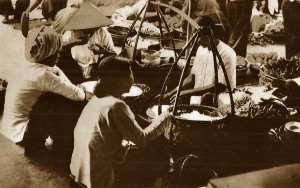
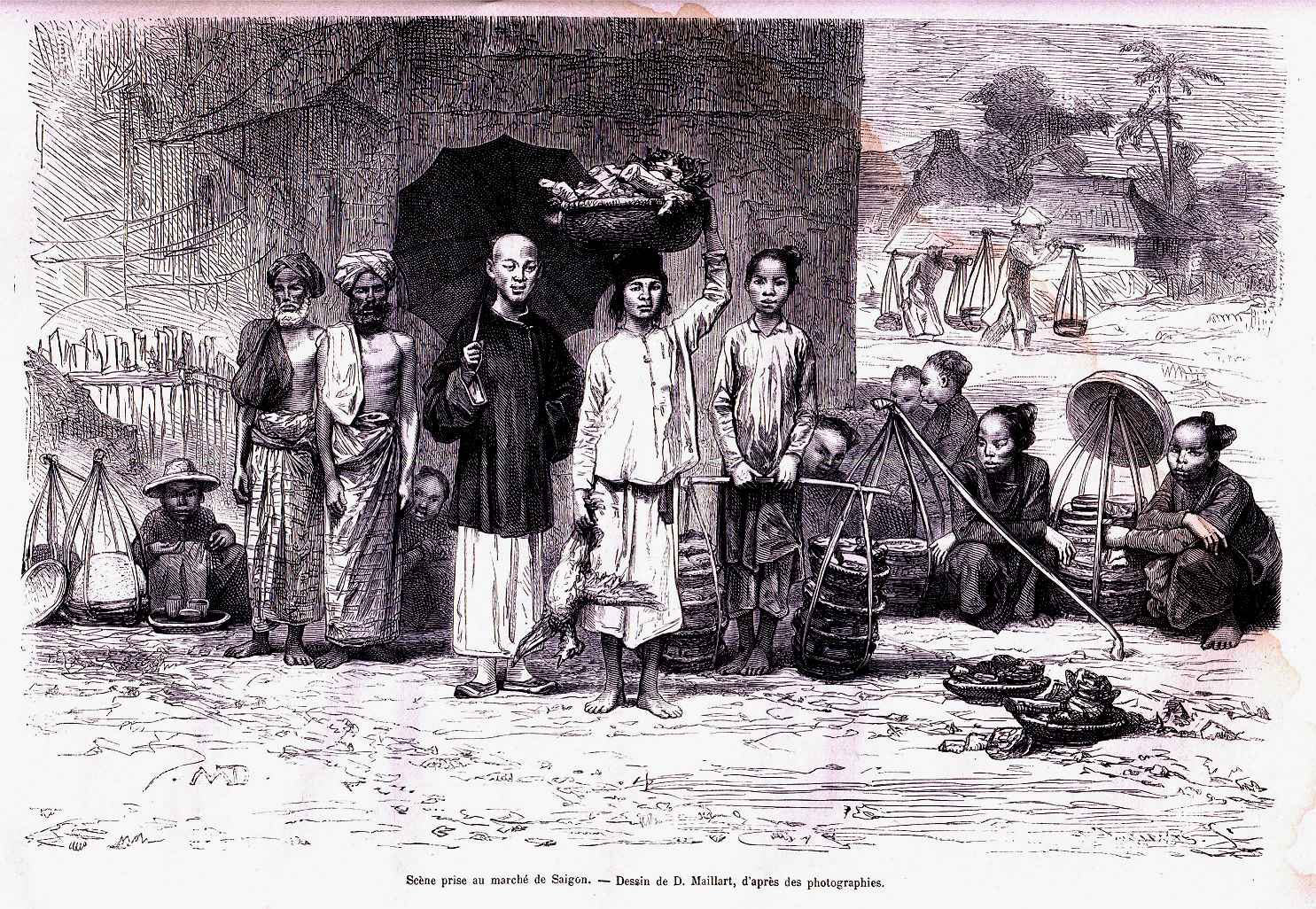
A Saigon market scene
Besides the food which was sold there, a row of shops had displays of drums, umbrellas, saddles and graduation caps for those who had passed the mandarin examinations.
After this market, also on the north side of the street, was the old Chợ Đũi (Raw Silk Market), where the city’s silk trade was based. A little further on, before reaching the route de Thuận Kiều [modern Cách mạng Tháng 8 street], was Xóm Đệm Buồm, the district which specialised in mats and sails. Today, the name of Chợ Đũi applies to the entire upper part of the rue Boresse up to and around the railway line [now the area around the Phù Đổng six-way junction].
On the way along the route de Thuận Kiều up to the Stud Farm, one passes the Cây Đa Thằng Mọi or Điều Khiển Market: Cây Đa Thằng Mọi means “Banyan tree of the slaves,” while Điều Khiển was the title of a military intendant. The market was built and opened by an intendant, hence its name.
But why the name: “Banian tree of the slaves?” It came from the goods that were traded in this market. It specialised a popular type of terracotta candlestick which was shaped to look like a black slave, with a lantern fixed to its head, in the bowl of which one immersed a wick in peanut or coconut oil.
This market, which extended from the front of the Maison Blancsubé [the grand residence of Jules Blancsubé, mayor of Saigon from 1879-1880, on what later became route Blancsubé, modern Cống Quỳnh street] up as far as the railway line, was filled with houses and shops.
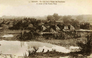
![L0055713 Cochin China [Vietnam].](https://www.historicvietnam.com/wp-content/uploads/2014/10/Plaine-des-tombeaux-by-John-Thomson-1867-Wellcome-Library-London.-Wellcome-Images-300x218.jpg)
The Plaine des tombeaux by John Thomson, 1867 (Wellcome Library, London, Wellcome Images)
Before arriving at Stud Farm, we see water from the Plaine des tombeaux (Plain of Tombs) draining into the arroyo which ran behind the Maison Blancsubé, so that the ground on this section of the road was in a constant state of saturation. As a result, this area was known as Nước nhĩ or “dripping water.”
Near the Stud, we see the Kim Chương Pagoda, built during the reign of Gia Long on the site of an ancient Cambodian sanctuary. It became famous as a result of two gloomy events which took place there, yet both remain shrouded in mystery.
During the war, Lord Nguyễn Phúc Thuần (Duệ Tông), uncle of King Gia Long, and Prince Nguyễn Phúc Dương (Mục Vương) fell into the hands of Tay Sơn – the first at Bassac (Cà Mau) in 1776, the second shortly afterwards at Ba Vát (formerly in Vĩnh Long province, now in the district of Bến Tre, northeast of Mỏ Cày – and both of them are said to have been executed in this pagoda in 1776.
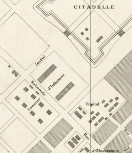
The Camp des Mares [located in the area south of the modern Công Quỳnh-Phạm Viết Chánh junction], where today you can find the barracks of the Annamite riflemen, was once the Hiển Trung tự (Temple of Brilliant Loyalty) or the Miếu Công thần (Temple of Meritorious Officials). Built by order of Gia Long, it was dedicated to the memory of former royal servants to which the government, at fixed times, solemnly made offerings and sacrifices.
The pagoda contained inscribed tablets for every man of merit who had served the state well. Those of several Frenchmen who died serving Gia Long could also be found here.
Environs de Saigon – Habitations de pêcheurs
Another pagoda, now occupied by the officers of the Annamite sharpshooters, was situated in front of the perimeter wall and flanked by two ponds planted with water lilies, which spread their perfume across the royal road. This was also built in the time of Gia Long, and was known by the names Miếu Hội Đồng or Miếu Thính.
In the old days, two brick columns – one at each end of the section of road running past these two pagodas – contained signs inscribed with the words: Khuynh cái, hạ mã (“Remove hat and dismount”).
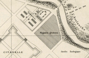
Continuing past the Ferme expérimentale des Mares [an experimental farm on the same siter belonging to the Jardin botanique et zoologique de Saïgon] to the route Stratégique, the road once passed a pagoda named Chùa Ông Phúc or Chùa Phật Lớn, now demolished.
After passing a stream linked to the source of the Rạch Cầu Ba Đô, you would have seen the tombs of two princes, Hoàng Thùy and Hoàng Trớt, who it is said were the sons of Nguyễn Văn Nhạc [Tây Sơn king Thái Đức, 1778-1793]; at this location there was once a market called Chợ Mai (“Morning Market”).
Opposite the avenue de l’Église de Chợ Quán [modern Trần Bình Trọng street], on the plain, there once stood the Kim Tiên Pagoda, on the foundations of which we built another temple named the Nhơn Sơn Tự.
On the avenue de l’Hôpital, there was once another pagoda called the Gia Điền Pagoda, which no longer exists today.
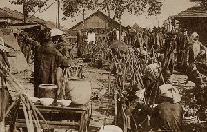
A Chợ Lớn market scene
As we advance towards Chợ Lớn, we first come to the village of Xóm Bột, where flour was made and sold on both sides of the road. After passing through this village, we arrive at market Chợ Hôm (Evening Market).
Behind this market one can still find the Trần Tướng Pagoda, which was built by King Gia Long in honour of one of his mandarins who was killed by the Tây Sơn.
On a small arroyo where the pagodas of Chinese cemetery are located, there was a small bridge called Cầu Linh Yển. According to tradition, a soldier named Yển carried Gia Long on his shoulders when he was fleeing his Tây Sơn pursuers. At this bridge, he was replaced by another soldier. Exhausted, Yển stopped to rest; however, the Tây Sơn arrived and put him to death. Gia Long built a pagoda in this place devoted to his memory. The village was called Tân Thuận or Hàm Luông.
Here, under the shade of a large tamarind tree, were several quán (hostels) called Quán Bánh Nghệ. From here to the rue des Marins [Trần Hưng Đạo B street], the agglomeration of houses formed part of Xóm Chỉ.
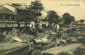
Now let’s walk through ancient Chợ Lớn, before returning to Saigon looking at places on the south side of the Route haute (High Road).
The original Chợ Lớn (“Big Market”) was located on the site of today’s Chợ Rẫy.
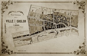
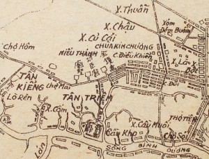
An 1874 map of Chợ Lớn
The area between the rue des Marins [Trần Hưng Đạo street] and the arroyo de Chợ Lớn was inhabited by the Minh Hương, a mixed race Chinese people who wore Vietnamese dress and lived in a village which was granted privileged status by the king.
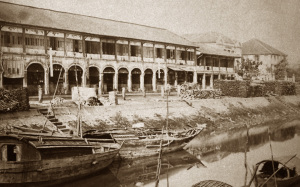
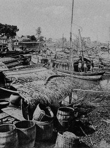
The arroyo de Chợ Lớn was lined with brick-built shops called Tàu Khậu which were leased to Chinese traders who came from China once every year on sea junks. They brought their goods into these stores where they sold them either wholesale or retail during their stay in Saigon.
The bridge that led across this arroyo [now Hải Thượng Lãn Ông street] to the current city market [on the site of the modern Chợ Lớn Post Office] was called the Cầu Đường (“Sugar Bridge”), because the traders around it sold candies in tablet form and in jars.
The edges of the canal which passed in front of the house of the Đốc Phủ of Chợ Lớn [Đỗ Hữu Phương, 1840-1914, Governor of Chợ Lờn province] formed the rue de Phố Xếp [now Châu Văn Liêm street], while the bridge which crossed this canal carrying the route de Cây Mai [modern Nguyễn Trãi] was named Cầu Phố.
The angle formed by the canals from the market up to the iron bridge contained the Quới Đước village and the Chợ Kinh Market.
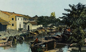
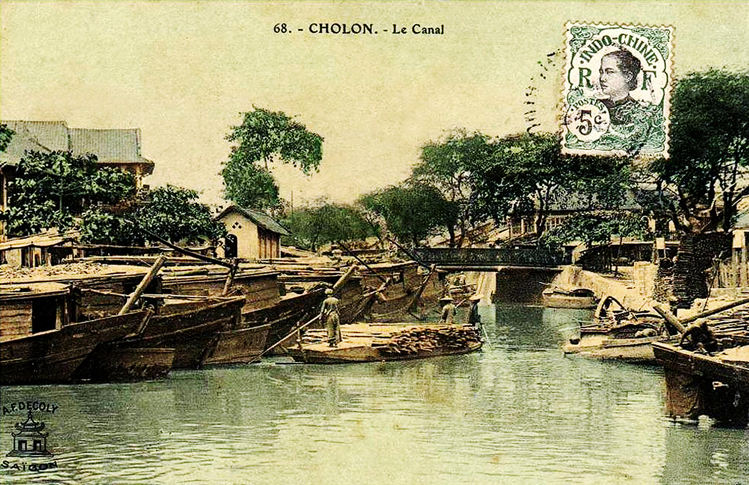
Cochinchine 1903 – Cholon, canaux intérieurs
The arroyo de Chợ Lớn, stretching westward from the pont du marché (Cầu Đường) to the Cầu Khâm Sai and to the Lò Gốm Creek, was lined with houses.
The Lò Rèn Market, located on the site of the present church in Chợ Lớn [the earlier St-Michel Church on upper rue de Paris, now Phùng Hưng street], was inhabited by blacksmiths and manufacturers of iron wire, who lived in the Xóm Mậu Tài.
Going northward to Cây Mai Pagoda, one crossed the Cầu Ông Tiều bridge.
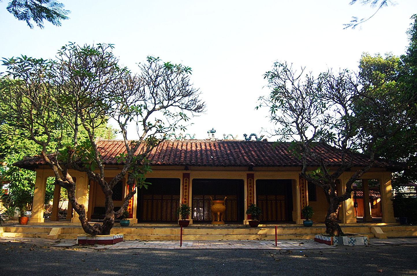
The Cây Mai Pagoda was originally a Cambodian sanctuary, surrounded on all sides by ponds, in which an annual regatta was held in honour of the Buddha. This pagoda was restored by the Annamites. During the reign of Minh Mạng, General Nguyễn Tri Phương, who came to Cochinchina with mandarin Phan Thanh Giản, endowed it with a two storey building. The name of the pagoda and the hill on which it stands comes from the apricot trees growing there, whose white flowers are highly valued by the Chinese and Annamites.
The current Inspection de Chợ Lớn stands on the site once occupied by the Tân Long District office and administrator’s residence.
Now let’s retrace our steps and head back to Chợ Quán.
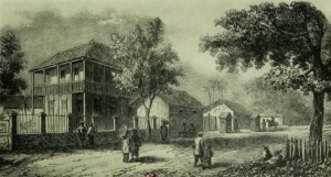
The name of Chợ Quán, also applied to the villages of Tân Kiềng, Nhợn Giang, Bình Yên, was originally that of the market located under the big tamarind trees of the avenue de l’Hôpital de Cho-quan. There were many hostels here, hence the name Chợ (market) Quán (auberge or hostel).
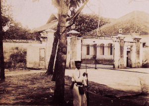
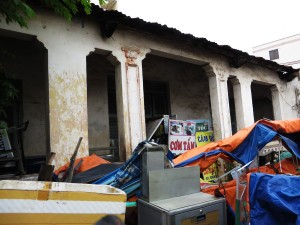
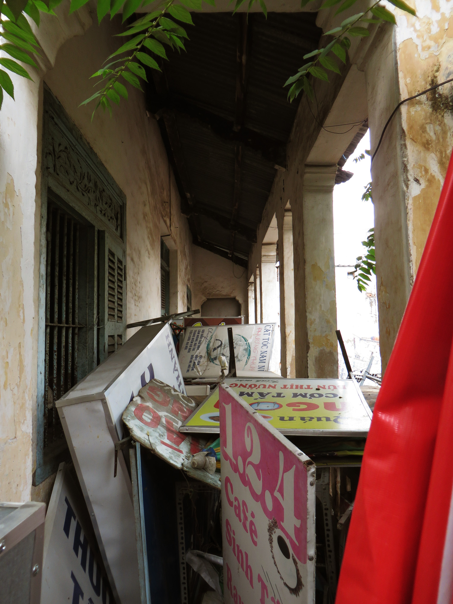
An 1889 drawing of Petrus Ky’s house in Chợ Quán
Between the avenue de l’Hôpital and the Experimental Farm of the Camp des Mares was the so-called “village of the founders,” Nhơn Ngãi (today Nhơn Giang). In this area we can still find the remains of an ancient Cambodian village. A large Cambodian pagoda with brick towers once stood here. Excavations unearthed Cambodian bricks, terracotta water lilies, and small Buddha statues made from bronze and stone. Two blocks of highly polished granite decorated with relief sculptures may still be seen there today.
Today, the area around the road which descends from Chợ Quán (Nhơn Giang) to Cầu Kho is dotted with houses surrounded by gardens. In the time of Gia Long, the first section of this road as far as the Maison Blancsubé was populated by miserable beggars. Seeing the arrival of the Tây Sơn in pursuit of King Gia Long, they gathered on the street and beat drums, making a terrible din. The Tây Sơn army stopped, figuring that they had encountered a serious obstacle which needed to be overcome, and Gia Long escaped. Later, Gia Long built houses to accommodate these beggars in reward for the services they had rendered him on this occasion.
This hamlet was named Tân Lộc Phường. The bridge over the arroyo behind the Maison Blancsubé was called Cầu Gạo (“Rice Bridge”), because this is where rice was sold. Long ago, Cambodians grew rice in this place, and also made mats.
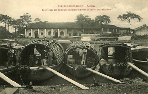
Merchant boats on the banks of an arroyo
In front of the Maison Spooner, they sold sheets of white leaf parchment, lá buôn, and an agglomeration of dwellings made up the Xóm Lá Buôn.
From there to the prison, we see by the roadside several country houses belonging to government mandarins and officials. At the top of the rue Boresse was the Cầu Quan (“Mandarins’ Bridge”).
Today, as we take rue Mac-Mahon [modern Nam Kỳ Khởi Nghĩa street] up to the rue des Moïs, we pass the new Palais de justice, the Palais du gouvernement and the Collège Chasseloup-Laubat, which are all located outside the area of the ancient Citadel. In the time of the “Great Eunuch,” this area contained the residence of Lê Văn Duyệt’s wife (Dinh Bà Lớn), the lodge of the Viceroy (Nhà Hoa), the theatre (Nhà Hát) and the archery range (Trường Ná).
Next to the house of M de Lanneau, one can still see two casuarinas; this area once housed the Nền Xã Tắc – a sacred platform where sacrifices were made to the gods. The city park was previously the village of Xóm Lụa (“Silk Hamlet”), where silk was bleached, sewn and sold.
On the Route stratégique which leads up to the Stud, one passes the villages of Xóm Thuẫn (“Cakes Hamlet”), Xóm Chậu (“Pottery’ Hamlet”) and Xóm Củ Cải (“Turnip Hamlet”).
Let’s turn right now and follow the rue des Moïs [modern Nguyễn Đình Chiểu street] eastward, until we reach the second pont de l’Avalanche. As we travel along this road, we notice on our right, across from M Potteaux’s residence, the former Saigon prison, and a bit further on, the former Elephant Park and the market named Chợ Vông, located between the cemetery and the second pont de l’Avalanche.
A close up of the 1815 map showing the area east of the 1790 Citadel
In the area between the third pont de l’Avalanche, the Cầu Xóm Kiều (now Tân Định) and the Chợ Xã Tài market, there was once a large village which contained as many as 72 pagodas.
Now let’s travel down from the second pont de l’Avalanche to the mouth of the arroyo de l’Avalanche.
The second bridge was originally known as the Cầu Cao Mên (Cambodian Bridge); but we gave it the new name Cầu Hoa. However, since the word Hoa was forbidden out of respect because it was used by princes of royal blood, the bridge was subsequently renamed Cầu Bông.
The arroyo called the Tắt Cầu Sơn was crossed by two bridges, the first called the Cầu Sơn (“Lacquer Bridge”) and the second Cầu Lầu (“High Covered Bridge”). As for the name Thị Nghè or Bà Nghè, given to both the first bridge and the arroyo de l’Avalanche itself, here’s the story:
Nguyễn Thị Khánh, the daughter of senior mandarin Vân Trường Hầu, was married to a scholar employed in the provincial administration with the title Ông Nghè (bachelor or graduate). To facilitate the crossing of the arroyo for her husband as he travelled back and forwards every day to his office, she had a bridge built, which was named in her honour Thị Nghè or Bà Nghè, “Madame bachelor.” The arroyo was given the same name.
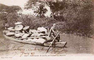
Marchands de paddy se rendant au Marché
In front of the Hospital of the Sisters of Sainte-Enfance at Thị Nghè, there was a rice field reserved especially for the annual royal event known as the Tịch Điền (ploughing) ceremony. Next to it was a platform reserved for sacrifices to Thần Nông, also known as Chinese Emperor Shennong, who invented the first agricultural implements and is worshipped as the god of agriculture.
Between this area and the bank of the Saigon River above the arroyo de l’Avalanche, there was the Văn Thánh Miếu, a large temple dedicated to the worship of Confucius.
When we compare this journey through ancient Saigon and its environs with a trip through the modern city, we can see the rapid physical changes that Saigon has experienced over the years, helping us to reflect on the instability of human affairs.
Thanks to the activities of the French, a country which was almost ignored for the last century, organised in villages which later became the residences of kings and provisional capitals, has now been cleaned and embellished to become the capital of six provinces and one of most beautiful cities in the Far East.
NOTE
It is not without interest to portray in passing the character of Marshal Lê Văn Duyệt, a man so adroit as a minister, so energetic as a general, and so skilful and severe as an administrator.
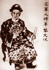
Marshal Lê Văn Duyệt
In 1799, it was thanks to the energy, stubbornness, and cold determination of the Envoy of the Palace Left Guard and General of the Pacification of the Tây Sơn that a famous victory, dearly bought, however, was obtained at the port of Thị Nại (Quy Nhơn).
The first edict of prohibition against the Catholic religion and Europeans in general, ordering the demolition of churches, was launched in 1828 by Minh Mạng.
The Viceroy was attending a cockfight when news of the decree of persecution reached him. “How,” he cried, “can we persecute the fellow believers of the Bishop of Adran, and the French, whose rice we still chew between our teeth? No,” he added, ripping up the royal edict in indignation, “while I live, we will not do this, let the King do what he wants after my death.”
He was severe in the administration of Lower Cochinchina. He was also the terror of the Cambodians and Cochinchinese. His power to condemn people to death and carry out the sentence before sending a report to the king and the minister of justice was the power which kept the peace throughout his rule.
One day, going to Chợ Lớn, he observed on the side of the route de Cầu Kho a child aged four or five years, cursing and disobeying his father and mother. He wanted to stop to chastise the child, but changing his mind, he continued his journey. That evening, on his way back along the same road, he heard the child again, uttering insults and curses against his parents over the dinner table. He stopped and asked the parents for permission to remove the child. Then he gave him food and ordered him to eat with a pair of chopsticks which were purposely given to him the wrong way round. The child turned the chopsticks round to their correct position and began to eat. The governor then seized and beheaded the child immediately, saying that he clearly had enough intelligence to understand the enormity of the crime he had committed.
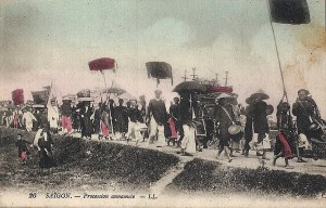
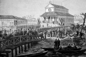
Saigon – procession annamite
On another occasion, when leaving the city, the Viceroy saw a thief running away after stealing a roll of cigarette paper. He had him caught and beheaded on the spot, without any form of judgment.
He considered it his duty to govern Cochinchina by excessive severity and rigour in the application of laws against crimes.
The first example he gave of his ruthless provisions was the execution of one of his scribes (Thợ lại). Coming out of the office one day, this man met a vendor of soups or sweets at the gate of the Citadel. Wanting to amuse himself, he put his hand on the betel box that the merchant had placed on the lid of his basket, but the vendor cried “Thief!” Caught in the act, the scribe was beheaded immediately on the orders of Lê Văn Duyệt, without any judicial proceedings. Soon, the report of this summary judgment struck terror throughout Cochinchina.
To be respected and feared by the Cambodians, he went to Udong in the capacity of an Extraordinary and Plenipotentiary Envoy. Sitting on an elevated platform next to the King of Cambodia, he was eating candy (đường phèn) and drinking tea. Hearing his teeth crack as he chewed the sugar cubes, some Cambodian courtiers asked the Annamite officers present at the reception what the Tướng Trời (“Celestial General”) was eating. The latter replied that he was eating stones and pebbles.
As Cambodia was under the protectorate of Annam, the king of this country was obliged to come to Saigon every year at Tết (New Year) to pay his respects to the king of Annam in the Royal Pagoda, together with the Viceroy.
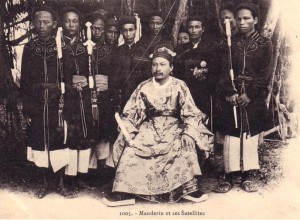
Mandarin et ses Satellites
On one occasion, the Cambodian king, accompanied by the officer in charge of the protectorate, arrived on New Year’s Eve; but instead of going to Saigon, he spent the night in Chợ Lớn. Early next morning, the Viceroy proceeded with the ceremony without waiting for the king, who did not arrive until after it was already over. He was subsequently condemned without mercy and forced to pay a fine of 3,000 francs before returning to Cambodia.
Lê Văn Duyệt had a passionate love for cockfighting, comedy and theatre. He maintained his own theatre troupe and had his own theatre. Buildings used for all these diversions were located outside the walls of the ancient Citadel, on land now occupied the Palais du gouvernement and the Collège Chasseloup-Laubat.
The Annamites say that this great Tả Quân had something majestic in his person, and especially in his eyes.
It is said that the tigers he raised for combat were afraid of him and obeyed his voice. Even the most indomitable elephants feared the Viceroy. The biggest and the baddest, called Voi Vinh, was subject to fits of rage, during which he rampaged around, picking up and tossing aside everything that was in his path. When he heard about this, the Viceroy rode in on his palanquin and, standing directly in front of this huge animal, called him by his name and ordered him to calm down. The animal, as if he understood, calmed down immediately.
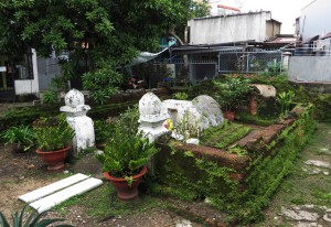
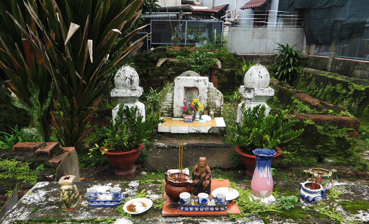
Finally, I will mention just a few renowned historical and monumental tombs on the Plaine des tombeaux.
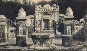
A mandarin’s tomb
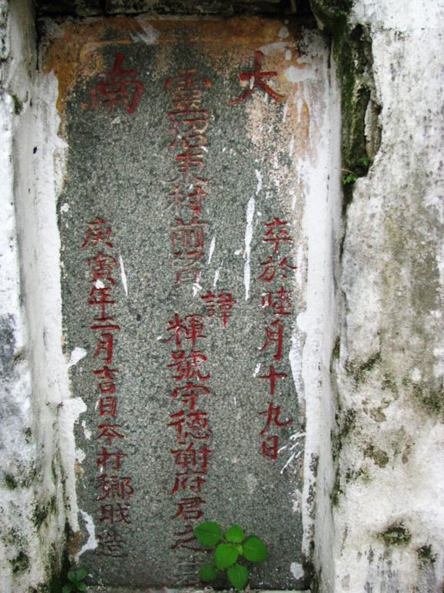
Everyone knows the tomb which stands next to the tramway line near the Maison Vandelet. This tomb was built by Minh Mạng in honour of his father-in-law, Huỳnh Công Lý, who was beheaded by order of the Viceroy Lê Văn Duyệt. Huỳnh Công Lý was the Phó Tổng Trấn (Deputy Governor) of Gia Định (Saigon). However, in 1821, when the Viceroy went on a trip to Huế, Lý had illicit relations with one of the latter’s women. After returning from the capital, the Viceroy was informed of the behaviour of his subordinate, and had him executed immediately and without any regard for Minh Mạng .
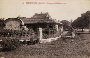
The great tomb that one sees next to that of the bishop of Adran is that of Tả Dinh, brother of the Viceroy Lê Văn Duyệt, who died before him.
For other articles relating to Petrus Ky, see:
“A Visit to Petrus-Ky,” from En Indo-Chine 1894-1895
Old Saigon Building of the Week – Petrus Ky Mausoleum and Memorial House, 1937
What Future for Petrus Ky’s Mausoleum and Memorial House?
Tim Doling is the author of the guidebook Exploring Saigon-Chợ Lớn – Vanishing heritage of Hồ Chí Minh City (Nhà Xuất Bản Thế Giới, Hà Nội, 2019)
A full index of all Tim’s blog articles since November 2013 is now available here.
Join the Facebook group pages Saigon-Chợ Lớn Then & Now to see historic photographs juxtaposed with new ones taken in the same locations, and Đài Quan sát Di sản Sài Gòn – Saigon Heritage Observatory for up-to-date information on conservation issues in Saigon and Chợ Lớn.